IMG_3667 - Originally staging equipment and animals for the shows were held in rooms under the performance floor.
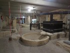
IMG_3671 - Now the area under the floor holds a display "Viticulture and Olive Oil Production in Istria During the Roman Period".
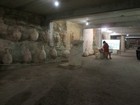
IMG_3672 - Amphorae for storing and shipping wine and olive oil.
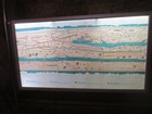
IMG_3675 - The Tabula Peutingeriana is a 4th century chart of Roman roads, with distances marked. North is to the left.
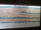
IMG_3676 - The middle arm is Italy. See "Isteria" and Pula to right of centre on the top band, Croatia.
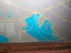
IMG_3680 - Istria was important in the Roman sea-trade routes. Until 1797 most of the eastern Adriatic coast was ruled by Venice.
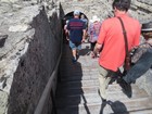
IMG_3684 - Back up to the seating area.
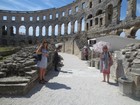
IMG_3686 - Our wonderful guide Brianna.
IMG_3688
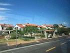
IMG_3692 - Modern housing in Pula.
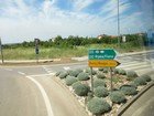
IMG_3694c - En route from Pula to Rovinj.
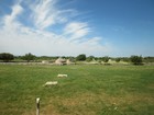
IMG_3697 - Kažuni, dry-stone shelters or storage sheds in fields, traditional to southern Istria, are similar to Italian trulli.